When you buy through links on our articles, Future and its syndication partners may earn a commission.

On June 16, 2025, NASA's Landsat 8 satellite caught a chain of elongated, oval lagoons near Billings and Cape Billings on Russia's Chukchi Peninsula that lines up so perfectly that — when viewed from above — it resembles a stacked snowman pressed against the shore.
Billings, established in the 1930s as a Soviet port and supply point, sits on a narrow spit of land separating the Arctic Ocean from connected coastal lagoons, exactly the kind of geomorphic "edge zone" where land, water, ice, and wind constantly reshape one another.
Despite mid-June being among the warmest times of year in Billings, the landscape in the image is still locked in ice. NASA notes that ice cover is routine even then, with average daily minimum temperatures around −30.9°F (−0.6°C ) in June that see these lagoons frozen and sea ice crowding the coast.
What is it?
Since launching in February 2013, Landsat 8 has been one of the world's most reliable tools for tracking Earth's surface, quietly collecting consistent, repeatable imagery that scientists use to monitor everything from crop health and wildfire scars to shifting shorelines and shrinking ice. Operated by NASA and the U.S. Geological Survey, the mission was built to extend the long-running Landsat archive and keep observations comparable over decades.
Landsat 8 carries two primary instruments. The Operational Land Imager (OLI) measures reflected sunlight in visible through shortwave-infrared wavelengths, producing multispectral images at 90-foot (27-meter) resolution and a sharper 45-foot (13-meter) panchromatic band across a wide swath, making it well suited for mapping broad landscapes while still capturing meaningful detail.
Just as important as sharpness is consistency. Landsat’s regular revisit cycle (16 days for Landsat 8 on its own, and effectively more frequent coverage when paired with other Landsat satellites) allows researchers to compare "like with like" across seasons and years, an essential ingredient for detecting environmental change rather than just photographing it.
Where is it?
This image was taken in low Earth orbit above Russia’s Chukchi Peninsula in Siberia.

Why is it amazing?
It's easy to treat the "snowman" as a delightful visual coincidence — and it is — but the real value of the image is what it reveals about permafrost landscapes, coastal Arctic dynamics, and why satellites like Landsat remain indispensable for observing them.
The photo captures a moment when frozen lagoons, sea ice, and shoreline all coexist in mid-June, a useful context for understanding seasonal ice persistence in a region where timing affects ecosystems, coastal erosion and human activity. Landsat's moderate resolution is ideal here: wide enough to put the whole coastal system in view, detailed enough to separate lagoon ice, sea ice and land surface features.
The story even puts the scale into perspective: this segmented "snowman" spans roughly 14 miles (22 kilometers ) from top to bottom. By comparison, Guinness World Records lists the tallest snowperson as .02 miles (37.21 meters), a record set in Bethel, Maine — meaning the Siberian "snowman" isn't just bigger; it's bigger by orders of magnitude.
Want to learn more?
You can learn more about Earth-observing satellites and the Arctic.
LATEST POSTS
- 1
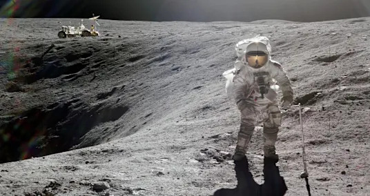
 NASA begins the countdown for humanity's first launch to the moon in 53 years
 - 2‘Wicked: For Good’ streaming release — How to watch the sequel starring Ariana Grande and Cynthia Erivo
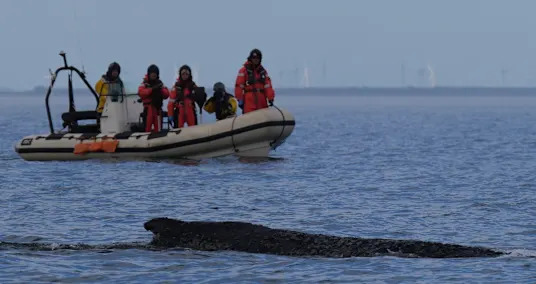
- 3Humpback whale freed by rescuers in Baltic Sea has become stranded again
- 4Europe could get 42 more days of summer by the year 2100 due to climate change
- 5The top astronomical discoveries of 2025


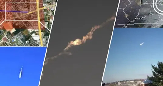
- Fireball sightings are surging across the US — here's what's really going on
- 6 Popular Men's Aromas On the planet
- 7 Countries Where You Can Buy a Home for Under $100,000
- New movies to watch this weekend: See 'Predator: Badlands' in theaters, rent 'Black Phone 2,' stream Guillermo del Toro's 'Frankenstein' on Netflix
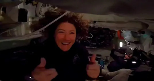
- More than half way to the moon, the Artemis II astronauts are grappling with a toilet problem
- Starship success, a private moon landing and more: The top 10 spaceflight stories of 2025
- Wedding trip Objections in the US
- Scaling New Levels: Rock Climbing Spots On the planet
- Help Your Efficiency: 10 Authoritative Apparatuses to Attempt